22 September 2022
Distance: 19.9nm
Difficulty: Moderate
Timing: 5 to 7 hours for an average kayaker
Know before you go
To have an enjoyable, safe and successful trip riding down the inlet, 3 considerations are essential:
1. Weather forecast
2. Tide timing
3. Direction of current flow
If any one of these three factors is unfavourable for your journey, wait for better conditions, or reconsider your direction of travel.
There are several resources, apps, and websites a person can refer to, in order to get a good understanding of the three factors, such as the local Masset tide chart, available for free at most of the larger local businesses in Masset. For current flow calculations, tide information, and an interactive chart, the Navionics app is an asset. Finally, be sure to consult the marine weather forecast on the Environment Canada site for Dixon Entrance East (weather.gc.ca/marine). Pay close attention to the wind direction and speed.
You can cross reference the projected wind forecast by visiting the windy website (windy.com) to get a sense of what the wind will be doing for the duration of your trip.
It is imperative that anyone undertaking this trip informs themselves of the tide timings and the direction of current flow and plans the take off point and timings accordingly. The water in Masset inlet is always moving and behaves like a river. Like a river, the inlet flows decidedly in one direction and it is futile to go against the flow of the current, also known as “bucking the tide.” At the height of its tidal flow, the current can reach 5 or more knots/hr. The average long distance kayaker does about 2 to 3 knots per hour. Unlike a river, however, the current speeds up when the tide is at the height of its surge, soon switching to a slow crawl, and then changing direction when the tidal energy is lower.
To add to this, slack tide does not always coincide with slack current. In Masset, the current changes direction approximately 2.5 to 3 hours after slack tide. If you try to leave Masset at low tide to ride the tide to Port Clements, you will be paddling into the current while it is at its strongest point, going against you.
The flood tide (from low to high) goes from North to South, which means that your launch point on the flood tide should be from Masset if you hope to ride the tide all the way. To do this without accidentally ending up halfway to Alaska, leave Masset about 2 hours and 50 minutes after high tide.
The ebb tide, therefore, flows from South to North. Low tide coincides with slack current flow, which means you should plan to leave Port Clements about an hour before low tide to catch the start of the northbound current at the start of the inlet, near Collison point.
Local Knowledge
One final piece to the planning puzzle is to seek out local knowledge. There are a few areas along the inlet to be aware/cautious of. Whirlpools can form in the inlet during certain times, and there can be strong eddy lines to avoid as well. Not all of these are indicated on online charts, and it is worthwhile asking locals about areas to avoid. If you are renting your gear from a local kayak company like Eagle Talon Adventures (778-361-0276) ask them for their input on locations of any hazards.
Alternative Exit Points
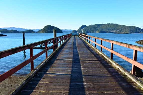
Alternative exit points exist along the route, if you are running out of daylight, or for any reason feel like you need to cut your trip short. From Port Clements, Nadu Road (visible as a dilapidated dock on the east side of the inlet just past Kumdis Island), is 10 nm from Port, and is the first point of access to Highway 16. This requires walking up an overgrown path to Nadu Rd. and an additional 2 km walk to the highway. Watun River, 14.4nm from Port Clements, is the next access point, with an access pull out on the southside of the river, about 1km from Hwy 16.
Reception
From South to North, there is cell service between Port Clements and Collison Point (the first 3 nm), then there is no available cell service for 12 nm, until just past Watun River (~15 nm).
Gear and clothing suggestions
Regardless of your vessel of choice, the basic safety equipment for this trip should include: lifejacket, whistle, marine radio, spare paddle, first aid kit, matches/lighter, and signal/flare/air horn. Also highly recommended is a compass, GPS, phone, local marine charts (paper or digital), a personal safety locator beacon (eg. Spot, or InReach), all contained in waterproof cases, of course.
Depending on what type of vessel you are using, you will also want to carry things like a sponge, a water pump, patch kit, paddle floats, and any other items that may assist you either to self rescue or to help someone else. If this sounds like a lot, it really isn’t. Safety is paramount on the water.
Clothing will depend on the time of year. But make sure you bring spare everything. In the winter you may consider wearing a dry suit, if you have one. Otherwise, layer up with wools and synthetics and leave the cotton clothing at home.
Inform people of your planned route and timings.
For months, I had been intending on making some minor repairs to my expedition rowboat. The last time I used the boat however, was 2 years ago when on the last day of a trip I broke an important component, and put off repairing it in favour of more pressing events. I had great intentions and dreams of using the boat during that time, yet my time, energy, and motivation were all fleeting factors that never seemed to line up to make the necessary repairs.
Beautiful days of calm weather and fair seas came and went, and the longing for a watery jaunt down the inlet remained a muted goal – made to wait in purgatory until the spirit moved me to give the boat life again. For some unknown and curious reason, the day of revival came in early December, when I awoke one morning and decided that this was the day I was going to repair the boat. Two days of focused attention saw the boat repaired to (better than) former glory.
Next, I obsessively checked the marine weather forecasts for the next week. It wasn’t looking good. Sunday: Winds SE 40km/hr, rainy Monday: Winds SE 35km/hr, rainy Tuesday, Wednesday, Thursday: Variations on the same theme as the previous two days, BUT WAIT, what’s this? Friday: Winds SE 10km/hr and Sunny. BINGO!
For someone who waited 2 years to get her boat back in the water, my patience was tested in the 5 days I had to wait to get on the water. During that time, however, I remained cautiously optimistic about the weather, and did some research into the tides and currents. As December is the month with the lowest amount of daylight (about 7 hours), I knew I would have to be lucky to catch the current going in the right direction during daylight hours, and match the wind direction which was South to North. As luck would have it, the tidal current timing worked out very well in my favour. Low tide was at 12:30pm in Port Clements, which meant that if I left there an hour before, I would round the bend across from Collison point just as the tidal flow was switching directions, giving me a free ride to Masset from there on out.
I woke up Friday morning, and looked out my window to see the weather shaping up just as predicted – Masset Inlet was calm and flat, albeit completely fogged in. Having spent the night beforehand frantically assembling the boat and safety gear, water, meals, emergency supplies, and spare clothing, I fell asleep having not loaded my boat on the truck for the drive down to Port Clements. As I wrestled the boat onto the roof and strapped it onto the racks, I told my roommate my plans for the day, my backup plan should I not make it all the way to Masset (I planned to camp at Watun if I ran out of daylight), and told her when she should be concerned that I had not arrived (the next evening).
Never one to get a smooth start, I tossed around my gear and noticed I had left my food bag behind in my frantic loading of the boat. Luckily for me, the boat launch I chose is conveniently located right beside the Bayview Market (91 Bayview Drive) for all your boat expedition food needs, and even some last minute camping supplies. Another fortunate gastronomical feature of Port Clements, is that the Buck Snort Cafe (93 Bayview Drive) is also open for business and sells a variety of delicious home baked goods, as well as breakfast and lunch options. Check out their Facebook page for hours of operation.
As I launched my boat at the crack of noon, the fog began to lift and the sun came out. My dog Reggie, dressed in his very own doggie life jacket, looked stoically ahead as I looked over my shoulder, aimed the boat towards Collison point and plunged the oars into the water.
There was not much activity in the basin in Port Clements on this day, however it is important to note that some logging barges have been known to frequent the waters here, so be sure to stay clear of those as you work your way to the inlet. Historically, the inlet was used as a main thoroughfare for local people inhabiting the area. Haida people used the inlet as an easy and accessible way to reach inland areas. When homesteaders set up in places like Nadu and Kumdis, and the town of Port Clements became permanently established, people would row or canoe anywhere between Masset and Port just for the fun of it, or to do groceries, commute to school, or to attend dances. Today, the aquatic activity was mostly provided by a few resident seals, curious and eager to catch a glimpse of the odd creatures propelling themselves in a floating engineless contraption. They escorted us to the edge of the inlet, and left us to continue on alone.
While it is possible to go through Kumdis Narrows (on the East Side of Kumdis Island), it is faster to go via the West Side of Kumdis Island, where you can benefit from the flow of the current to “ride the tide” to Masset. Kumdis Narrows are also quite shallow and many boaters/paddle boarders from tide rides past have had to walk their vessels in the muck to get back into floatable water.
About 5 nautical miles north (bearing: ~345 degrees) from the public boat launch at the Port Clements Public Dock, you round the corner and veer northeast to head up Masset Inlet. You will find yourself across from Collison Point, where there are sometimes active logging operations and a camp, which serves as an identifying landmark on your journey. At this point, you are about halfway around Kumdis Island, and you are approximately 5nm from Nadu. If you have timed your trip to coincide with the tide, this is a point of commitment, as you will hereon be riding the current towards Masset, and it will be very difficult to turn back once you’re in it. Be wary of “funny looking water” in the narrower parts of the inlet – whirlpools have been known to form in these waters with tragic consequences, however, if you are catching the current at the beginning of high tide, you won’t have much trouble with these, as they tend to be more intense when the current is running at its strongest (closer to mid tide at the south end of the inlet).
Once you jump on the liquid conveyor belt that is Masset Inlet, you will notice that even if you aren’t paddling, you are moving along at an impressive clip, especially if you feel comfortable enough to paddle into the centre of the inlet, where the current is running at its most uninhibited speeds. At Nadu, which is located 10.4 nm from Port Clements, and is just beyond the northern tip of Kumdis Island, there is a decommissioned pier that juts out into the inlet. If you are floating from south to north, landing on the north side of the pier is the safest option if you wish to land ashore. If you try to land on the south side, the current moves swiftly enough that you can end up among the legs of the pier pretty quickly.
In the summertime, you can land at the pier and take a walk along the edge of the forest on a trail that leads to an old homestead, where you might discover Rhododendrons in bloom – a spectacular sight to behold.
I chose to land briefly at Nadu, to let Reggie out of the boat for the exercise portion of his trip. I wrestled out of the current and touched land just long enough for Reg to launch himself onto the shore and as I pulled back into the current, I watched as he ran along the shore beside me. While I pulled along at a leisurely pace, the dog ran a 5 mile sprint on the shore, stopping only once to get in a tussle with a raccoon, who decided to swim away from the altercation, clearing the path for Reggie’s run to Watun.
Watun River came along quickly, and I had to pull hard to get out of the current and into the eddies near shore in order to pick up my canine friend, panting and satisfied with his run. Watun is another excellent pull out location, with a good gravel road leading from the main highway into a turn around spot right on the edge of the water. There are also a few cabins and houses on the north side of the river.
By the time I got to Watun, I had been paddling for about 3.5 hours, and since I left a little late from Port Clements, that meant the sun was starting to hang low in the sky. With 5 more miles to go Masset, I debated whether I should pull out here and spend the night and launch again in the late morning the next day. I quickly consulted my Navionics app to calculate the speed of the current. It was flowing north at about 5 knots! I decided to go for it. The weather conditions were favourable, the wind was not a factor, and at about 2.5 miles from Watun River, the road parallels the inlet closely all the way into Masset, with lots of pull out options available along the way. As I pulled back into the current, we rushed along like we were riding a river. As we rounded Griffith Point, I could see the lights of Masset twinkling as day turned to dusk. Within 30 minutes, I slid between the dolphins into Masset Harbour just as the sun set.
More Adventure Stories From Haida Gwaii
-

Cape Fife in a Day
Distance: 19.9nmDifficulty: ModerateTiming: 5 to 7 hours for an average kayaker Know before you go To have an enjoyable, safe and successful trip…
-
An Awakening Hike
Distance: 19.9nmDifficulty: ModerateTiming: 5 to 7 hours for an average kayaker Know before you go To have an enjoyable, safe and successful trip…
-
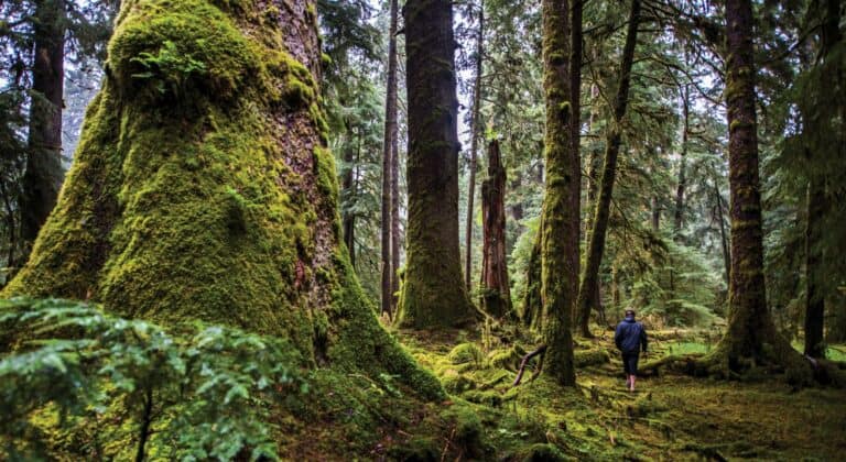
Into the woods
Distance: 19.9nmDifficulty: ModerateTiming: 5 to 7 hours for an average kayaker Know before you go To have an enjoyable, safe and successful trip…
